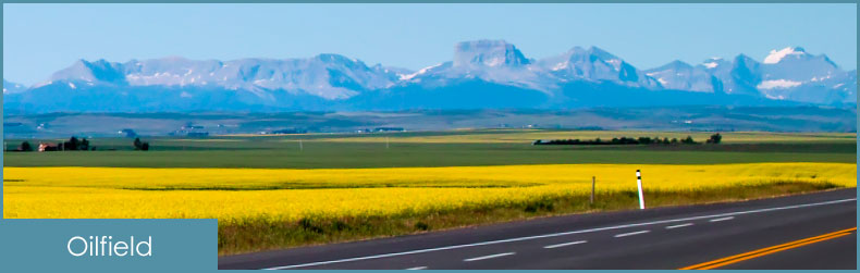
Oilfield Surveying Services
Our business motto is to provide an outstanding survey product to the Oil and Gas Industry with the sense of personalized service that is performed in a safe working environment. We will deliver the finished product in a timely and cost effective manner. Our work is completed to the latest standards of the Alberta Land Surveyors Association, the Alberta Environment and Sustainable Resource Development (ESRD), and the Alberta Energy Regulator (AER).
Well Site Surveys
One of the first steps in a resource drilling project is a well site survey. The AER requires a well site survey plan that contains the proposed well site, the proposed access road, topo information within 200m of the well center to be drilled, the surface area required and be endorsed by a licensed Alberta Land Surveyor (ALS).
Pipeline Surveys
We have the expertise and technology to provide all functions and services related to your pipeline project. This includes:
- the most efficient route selection for small and large size pipe
- providing construction, red line, and as-built drawings
- precisely stake right of way boundaries for site preparation
- accurately calculate and layout pile positions
- provide as-built digital files for big inch pipe projects
- and anything else your company requires
Call us today to find out more.
Underground Facility Location
Dig safely. Call us to perform an underground facility location survey. We locate and stake buried pipes, buried electrical, buried Telus or any other buried facility that may get in the way of constructing your project.
Topographic Surveys
Defining the contours of the land to precisely determine grading and slope, is an essential initial step, for almost any type of project. We use the latest LiDAR data and technology to determine the topography of your land to the highest accuracy.