
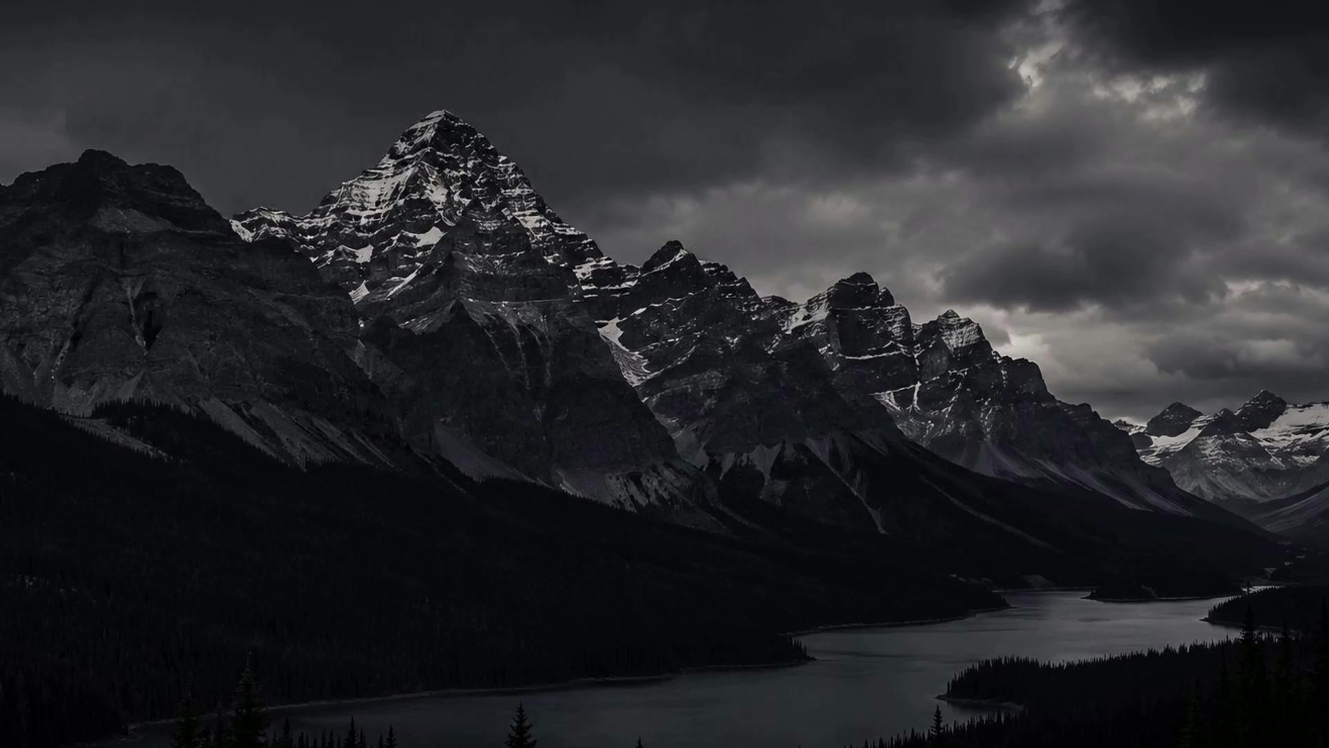
Trusted Across Alberta for 22 Years
Company Overview
Professional expertise.
Personalized service.
Vista Geomatics is a Calgary-based multidisciplinary land surveying company serving clients throughout Alberta. Our team includes Alberta Land Surveyors, project managers, survey and geomatics technologists, field personnel, and CAD technicians.
We combine technical experience, current survey technology, and responsive project support to deliver accurate data and dependable results across municipal, construction, oil and gas, and aerial survey projects.
Accurate Results
Reliable field data, clear reporting, and careful quality control from project setup through final delivery.
Modern Technology
Advanced survey instrumentation, GNSS, total stations, drone mapping, and current office software.
Client-Focused Service
Practical solutions shaped around each project’s technical requirements, schedule, and operating environment.
Connected Across Alberta
Local presence.
Provincial reach.
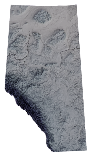
From our main office in Calgary to field crews in Edmonton and Grande Prairie, we’re strategically connected to support projects across Alberta.
Our Divisions
Three specialized teams.
One standard of quality.
Our divisions bring focused knowledge to urban development, complex construction, and remote oil and gas work while sharing the same commitment to accuracy, safety, and service.
Municipal Surveying
Survey solutions for residential, commercial, subdivision, and development projects in Calgary and communities throughout Alberta.
Construction Surveying
Field layout, verification, and data services supporting civil, utility, transportation, earthworks, and building construction.
Oil & Gas Surveying
Safe, efficient survey support for well sites, pipelines, facilities, access, land, and remote field programs.
Capabilities
Survey services for every
stage of the project.
From initial site data to final as-built verification, our crews provide field-to-finish support tailored to the work.

Municipal & Legal Surveys
Real Property Reports, property line surveys, development permits, subdivisions, grading certificates, condominium surveys, and new-home surveys.
Construction Layout
Deep and shallow utilities, roads, bridges, earthworks, gridlines, piles, anchor bolts, structural layout, and surface improvements.
Oil & Gas Surveying
Well-site and pipeline surveys, underground facility locations, pre-engineering surveys, cadastral work, and land-acquisition support.
Drone & UAV Surveying
High-resolution aerial mapping, orthomosaics, topographic data, site documentation, progress imagery, stockpile volumes, and large-area capture.
Topographic Surveys
Detailed surface, feature, and elevation data for planning, engineering, design, development, drainage, and construction.

As-Built & Monitoring
As-built verification, volume reporting, deformation monitoring, underground locate surveys, and data preparation for machine-control systems.

Safety Promise
Everyone goes home safely.
Every day.
Safety is fundamental to how we plan and perform our work. We believe workplace injuries, illnesses, and property damage are preventable through effective hazard identification, clear communication, responsible decision-making, and proactive management of risk.
Core Values
The principles behind
every project.
Safety
Protecting our employees, clients, the public, and the communities where we work.
Commitment
Following through on our work and delivering dependable service and results.
Integrity
Acting honestly, professionally, and without compromising the truth.
Innovation
Using current technology and practical ideas to improve how survey work is delivered.
Accountability
Taking responsibility for our actions, decisions, products, and commitments.
Community
Contributing responsibly and building positive relationships inside and outside our organization.
Careers
Build your career
with Vista Geomatics.
We value skilled, safety-minded people who take pride in accurate work, professional service, and supporting their team. General employment inquiries and résumés are welcome.
Contact Us
Let’s discuss your
next survey project.
Tell us what you are planning, where the work is located, and what deliverables you need.
Not sure exactly what survey you need? Send us the project information and our team will help determine the appropriate scope.
Stay Social
Follow our work.
Share your experience.
Connect with Vista Geomatics for company updates, field highlights, project insights, and opportunities across Alberta.